STUDENT SUCCESS IS OUR BUSINESS
Nichols College transforms ambitious and open-minded students into confident business leaders who make a difference in their communities and in the lives of others.


The Nichols Difference

Explore Majors
Nichols offers 27 undergraduate majors in traditional and emerging fields, along with accelerated master’s and law degree programs.


Visit Campus
Our 220-acre campus is classic New England, beautiful in all four seasons, with plenty of room to roam (and ask us how our grass is so green).

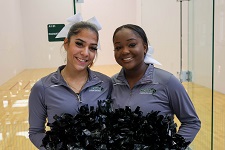
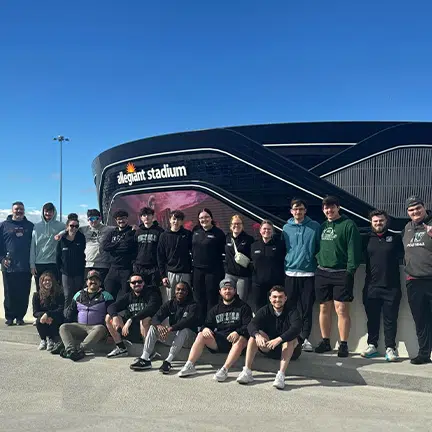
Engage in Campus Life
Find your niche within 35+ student-led organizations, club and intramural sports and more than 250 student activities every year.

Course Catalog
Explore current courses, the 2023-24 academic calendar, financial aid information and more.


Career Prep and PDS
Our award-winning CPDC provides the tools and resources students need to prepare for careers of meaning and purpose.

Housing, Dining and Campus Life
From mental health counselors to on-campus Starbucks baristas, our housing, dining and campus life staff are focused on providing an exemplary student experience.

Career Services
Questions about ROI? A full 95% of Nichols graduates were employed or in graduate school within six months of graduation.

Affording Nichols
We’re committed to making a Nichols degree affordable through a combination of loans, grants, work study and other sources.

Campus Safety
Learn how we keep our 220-acre campus safe in a respectful, collaborative and professional manner.

AACSB Accreditation
Nichols is among the 6% of business schools worldwide accredited by AACSB (the Association to Advance Collegiate Schools of Business).

Nichols Hub
A one-stop site for faculty and staff, with links to departments, policies and OneLogin.

IT and Help Desk
Information Technology is a collaborative and innovative team that serves the broad technology needs of the Nichols community.

AACSB Accreditation
Nichols is among the 6% of business schools worldwide accredited by AACSB (the Association to Advance Collegiate Schools of Business).

Academic Calendar
The trusted resource for semester start (and end) dates, add/drop, holidays, open houses, research symposiums, award ceremonies and more.

Bison Forever
Attend an event, mentor a student, use career resources, volunteer and support the next generation of Bison leaders.

Nichols Generosity
Give to what matters to you: scholarships, student assistance funds, faculty, athletics, capital improvements, clubs and activities or The Nichols Fund to support areas of greatest need.

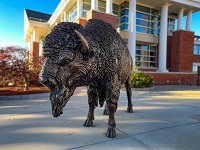
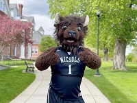
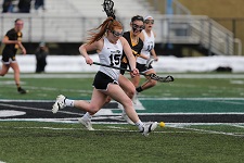
Bison Athletics
Our 24 NCAA Division III programs regularly win conference championships, earn NCAA tournament bids and academic accolades and foster Bison pride.

Publications
Stay connected through Nichols College Magazine, the Golden Bison Bulletin and Nichols & Sense e-newsletter.
I am a Student
Facts and Rankings
BY THE NUMBERS
8th
We are ranked 8th in the nation among undergraduate business schools for salary potential.
98%
Nichols is committed to value and affordability. That's why 98% of students receive a grant and/or scholarship.
$115,200
The average mid-career pay for Nichols graduates (10+ years experience) is $115,200.
6%
Just 6% of business schools worldwide are AACSB accredited, including Nichols.
10th
We are ranked 10th Best Value Business College in nation according to Payscale.

THE BIG PICTURE
- Founded: 1815 in Dudley, Massachusetts
- Enrollment: 1265 (undergraduate); 385 (graduate)
- Majors/Minors: 27/25
- Bison Near and Far: Students from 30 states and 10 countries
- Financial Aid: 98% of students receive financial aid (average aid package = $26,515)
- After Nichols: 95% of graduates employed or in graduate school within six months of graduation
Noteworthy
NEWS AND EVENTS

- 04/17/24 April 23 REAL Symposium at Nichols College to showcase impactful projects by students, faculty
- 04/04/24 Ralph Crowley Jr. to deliver Nichols College Commencement Address
- 04/11/24 Winners of the Nichols College Annual Elevator Speech Competition announced
- 03/15/24 Jacqueline Asselin '24 pens op-ed on financial aid equity
Confident and Collaborative Leaders
PEOPLE OF NICHOLS